Geotourism
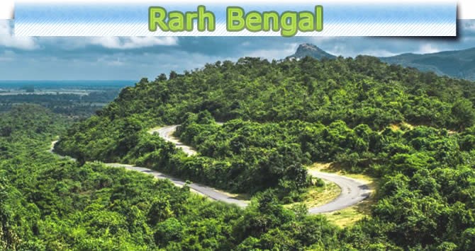
Geotourism in Rarh Bengal, Eastern India
Employment opportunities for towards pandering rural economy
Employment opportunities for towards pandering rural economy Mr Gour Kanjilal , Eminent Travel Writer The Rarh Bengal of India has huge potential for development of geotourism due to its diverse landscape consisting of hills, dome shaped inselberges, tors, dams, badlands, springs, waterfall, ravines etc. The combination of vast dense forest and diverse flora and fauna with various geomorphic features has created a prosperous and complex geodiversity in the Rarh region. However, the potential of geotourism in the region has not yet fully developed.
The definition of geotourism is “to ensure the value and social preservation of geological and geomorphological sites and their materials and to provide interpretative facilities and services for the use of students, tourists and other casual recreationalists” This definition clearly represents that the key focus of geotourism is on interpretation, promotion and preservation, which are all significant elements for the development of geotourism. Geotourism is an arrangement of natural area tourism that specially focuses on landscape and geology and their interpretation, promotion and conservation with the help of appreciation and education.
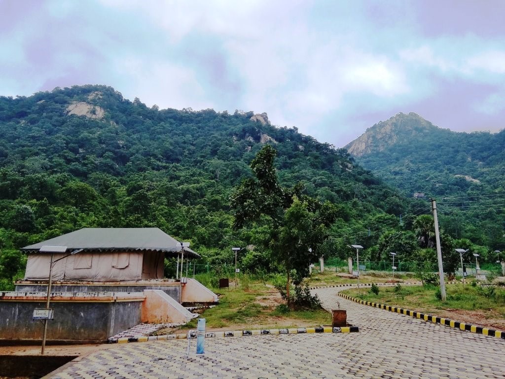
“geotourism is the providing of informative and service facilities for geosites and geomorphosites and their surrounding topography together through their allied in-situ and ex-situ artifacts, to build of constituency for their conservation by making appreciation, learning and research for current and future generations” Geotourism is a nature of tourism that renovates its activities, involving abiotic ingredients (geology, landscape, geomorphic forms, climate etc.), biotic components (flora & fauna) and culture. Geotourism is a comparatively new phenomenon based on old ideas about tourism and belongs to a category of special interest tourism. In the general sense, geotourism signifies the upgrade and protection of geological heritage care of tourism through the education and interpretation. This is a new emerging type of tourism that environmentally innovative. It promotes geosites into a tourist destination and preserves the geodiversity with the understanding of earth science. It has been proposed that greater concentration should be given to environmentally innovative forms of tourism, which encourage both environmental and social obligation. Geotourists travel individually or in groups and they may visit whether these are natural areas or built-up areas, they opt the areas that have geological attraction for tourism. Rarh Bengal Region is a toponym for an area in the Indian subcontinent, which lies between the Ganges Delta on the east and Chhotanagpur Plateau on the west. The Rarh Bengal Region is very rich in terms of geodiversity existing in numerous forms. This province is very rich with numerous hills, dome-shaped inselbergs, tors, dams, badlands, springs, waterfall and ravines, which is located in a relatively small area. Besides, this territory is well-known lateritic landscape endowed with lots of geoarchaeological sites. These sites are outstanding representatives of this area's geodiversity. Geotourism sites usually consist of all geological, geomorphological and pedological values produced through the formation of the Earth's crust. All of these values are being present in the region of Rarh Bengal in India, which has made this territory extremely promising for the development of geotourism in the future. Therefore, we can say that the Rarh Bengal Region is underdeveloped in agriculture and industry, if geotourism was developed here, the region may be economically dependent on the combined influence of agriculture, industry and geotourism. Rarh Bengal is a major part of the physiographical divisions of West Bengal, which lies between the Chhotanagpur Plateau in the west of India and the Ganges Delta in the east of India. The Rarh Bengal is located in the southwestern part of the Indian state of West Bengal, bounded by latitudes of 21°39′43” N to 24°35′51”N and longitudes of 85°49′27″ E to 88°28′43″E , Purulia, Bankura, Jhargram, Birbhum, Paschim Bardhaman, Purba Bardhaman and Paschim Medinipur are located in Rarh Bengal. In addition to, promotion of geotourism can generate employment opportunities for towards pandering rural economy in these districts of Rarh Bengal. Rarh Bengal is diversified with number of hills, dome-shaped inselberges, tor topography, undulating upland, valleys, erosional plain and ravines; the regions is characterized by lateritic land surface and sub-tropical monsoon type of climate with very high day temperatures during the summer months reaching up to 47 °C (Purulia district). The region is not favorable for agricultural development and any capital-intensive industry due to the deficit of adequate water. However, the area has great potentially for tourism promotion, because of its richness in terms of geodiversity existing in numerous forms. The main fact is that all the geosites of Rarh Bengal have not yet become such a popular tourist destination and the analyzed Baranti hill and dam, Khoyai and Laljal cave are not visited by more than 500 visitors every year. All the sites of Rarh Bengal have been divided into three groups of sites. The first group includes Ajodhya Hills and forest reserve area, Mukutmanipur Dam, Gangani Ravine, and Garhpanchkot. it can be said that the first group sites have great potential for the development of geotourism. It is seen that out of these, the Ajodhya Hills and forest reserve area has highest probability for the development of geotourism, as it has vast area based on hilly and forested environment with more view points, improved transportation and communication facilities, government hostelry service, restaurant service etc. Looking at the overall results, it can be concluded that all the sites can attract a larger number of tourists through the improvement of promotional activities, basic tourism infrastructure, visitor centers and tourist guide services etc. The second group comprises sites which are Murguma Dam and nearby Hills, Baranti Hill & Dam, Mama Bhagne Pahar, Khoyai and Laljal Cave. The third group includes Joychandi Pahar and Susunia Hill. The Joychandi Pahar has potentiality of geotourism like the first group sites. It can be concluded that Rarh Bengal in eastern India has many notable geosites with a lot of potential for the development of geotourism. The sites in this region already have all the natural elements required for the development of geotourism, but most of the sites lack tourist facilities. There is plenty of room for geotourism improvement in these sites, especially in terms of the tourist values. It explicitly refers to the investment for the improvement of tourism infrastructure based on the development of tourism as well as the enhancement of management and planning. In addition, with all those enhancement as well as embodying the promotional activities, these geosites could attract more visitors every year, which can benefit local community by creating new jobs and incomes towards strengthening the local economy. However, the geotourim development at these sites needs to strictly adhere to the principles of sustainable development as they belong to hilly and forested environments.